I thought I would share my trip report from our recent trip to L.A. (company-sensitive info removed, of course). There's a lot in there that's only relevant for people considering relocation to our office out there, but it gives a pretty good idea of how we spent our time. We decided to take the job, by the way.
Northridge Trip Report
Dan Pye
Initial Impressions
Kimberly and I flew into Los Angeles International Airport at a little after noon. The plane flew directly over much of the Los Angeles metro area. I was amazed at and overwhelmed by its enormity. Here’s a satellite comparison of the urbanization of Los Angeles versus Boston. The scale is the same for both images:

Boston metro is maybe as big as the San Fernando Valley, seen in the northern part of the L.A. image, to the west of center. The Valley, however, is a rather small part of the city at large.
W e had an easy time renting a car and setting out on the 405 freeway, heading toward the San Fernando Valley. The 405 is one of several major highways crisscrossing Los Angeles county. Typical of an L.A. freeway, there were 5 or 6 lanes of traffic on either side, and even in the middle of the day (2:00PM at that point) there was heavy traffic volume.
The 405 cuts straight through the Santa Monica mountains (home of the famous Hollywood sign) on its way to the Valley.
We made our way through surface roads to our hotel in Northridge. The San Fernando Valley is one of the best laid out urban areas I have ever seen. There are major roads cutting north to south as well as east to west, in a grid, all about one mile apart, and all generally three lanes wide in each direction. It would be almost inconceivable for the kind of traffic queue seen here on the Middlesex Turnpike every afternoon to develop very often in the Valley. This also means that finding your way is as easy as going straight on any road until you see the right street sign.
That being said, our real initial feelings for the valley were, fueled mainly by the sensory overload of so many new and different sights and the vastness of the urbanity, lukewarm at best.
The Office
T his is the only shot of the office I took. It’s at the northern corner of the main building.
The Northridge office (campus) is rather large. Though Harman doesn’t occupy all of the buildings on the lot, the campus is roughly 0.3 by 0.2 miles. Walking from the north entrance of the main building to the far reaches of the adjacent automotive building takes several minutes.
I had a very positive impression of the working atmosphere. Everyone I met was focused, friendly, articulate, and motivated.
Northridge
T he office is in Northridge, near to the geographical center of the Valley. My rudimentary socioeconomic impression of the San Fernando Valley is that the poorer neighborhoods are concentrated east/northeast, and the affluent neighborhoods west/southwest. There are some exceptions to the rule, and as anyone who has visited would tell you, good and bad neighborhoods exist in bizarrely close proximity.
All of that said, Northridge, being in the center, seemed to be in the center of that economic spectrum as well. The northern part of the district is dominated by shopping and the California State University Northridge (CSUN) (the public orange grove on campus includes fresh and juicy fruit for the picking!), and the housing tended to be middle-income apartments and nice single family homes.
Toward the east and the south, the housing was less nice, but I found no part of Northridge to be scary or dirty.
Eastern Neighborhoods
We drove through many communities to the east of Northridge, including Mission Hills, San Fernando, Pacioma, Panorama City, Van Nuys, and North Hollywood. None of these places was very nice compared to the rest of the Valley, though I’m sure some safe but affordable housing could be found.

Van Nuys Blvd. in Panorama City. We saw my coworker (circled) who was also visiting to check out the area.
Northern Neighborhoods
T o the north of the office (and west of Mission Hills) are the communities of Chatsworth, Porter Ranch, Northridge (the area of Northridge north of CSUN can be grouped with these other neighborhoods) and Granada Hills. These are more upper middle class to affluent areas, with many single family homes, gated communities, and pockets of retail shopping.
I was particularly impressed by Porter Ranch, which is the last area of Los Angeles to be developed. It consists almost exclusively of gorgeous gated communities, built on the foothills of the Santa Susana Mountains, which separate the Valley from Santa Clarita. A commute to Harman from any of these communities would be fast.

A gate to single-family homes in Porter Ranch, Santa Susana foothills in the back.
Southern Neighborhoods
 The only urbanized section of the Valley is to the south, concentrated around Ventura Blvd., the southernmost east to west major road. The communities in this section of the Valley include Woodland Hills, Tarzana, Encino, Sherman Oaks, and Studio City.
Toward the west, large financial and commercial property is common. It seems that many Valley residents commute to this area, including Woodland Hills and Tarzana, for work. Off of Ventura Blvd. to the south, along much of this corridor, are average to nice apartment buildings, followed by upscale single-family homes as the altitude rises into the Santa Monica mountains.
North of Ventura is more housing with a denser layout, more akin to the feel of Northridge or Van Nuys.
Sherman Oaks and Studio City seem like the closest one can come to a hip urban feel in the Valley. The i mpression I got was that young professionals inhabit the area, particularly Studio City. This is reinforced by the fact that several people have given me advice recommending this district as a potential option for my own housing.
Encino seemed to be a cross fade between the west and east sections of Ventura. All in all, this part of the Valley seemed safe, fun, and interesting.
Santa Clarita, Simi Valley, and Thousand Oaks
We stopped in Santa Clarita only briefly and simply drove through Simi Valley and Thousand Oaks. My impression of all three is that they would be great places to raise a family but are of little interest to my wife and me, childless as we are. Santa Clarita and Thousand Oaks are both a long drive to the office no matter how you spin it. Simi Valley, especially the eastern section that abuts the San Fernando, would be a much more viable commuting option. It also appeared to be the winner in my very superficial survey of the relative beauty of these communities. Its valley is rather lush compared to Thousand Oaks, and Santa Clarita is desert country.
West Hollywood
Another potential habitat, I was told, is West Hollywood. I found this area pretty similar to its Studio City counterpart on the other side of the mountains. West Hollywood is surrounded by affluence, with Beverly Hills, the Santa Monica Mountains, Hollywood, and Downtown at all sides. It’s obviously closer to the flashy night life, if one were into that sort of thing, but along with it would come more traffic congestion and added commute time. Northridge started to feel pretty remote to me once we were on the other side of the hills.
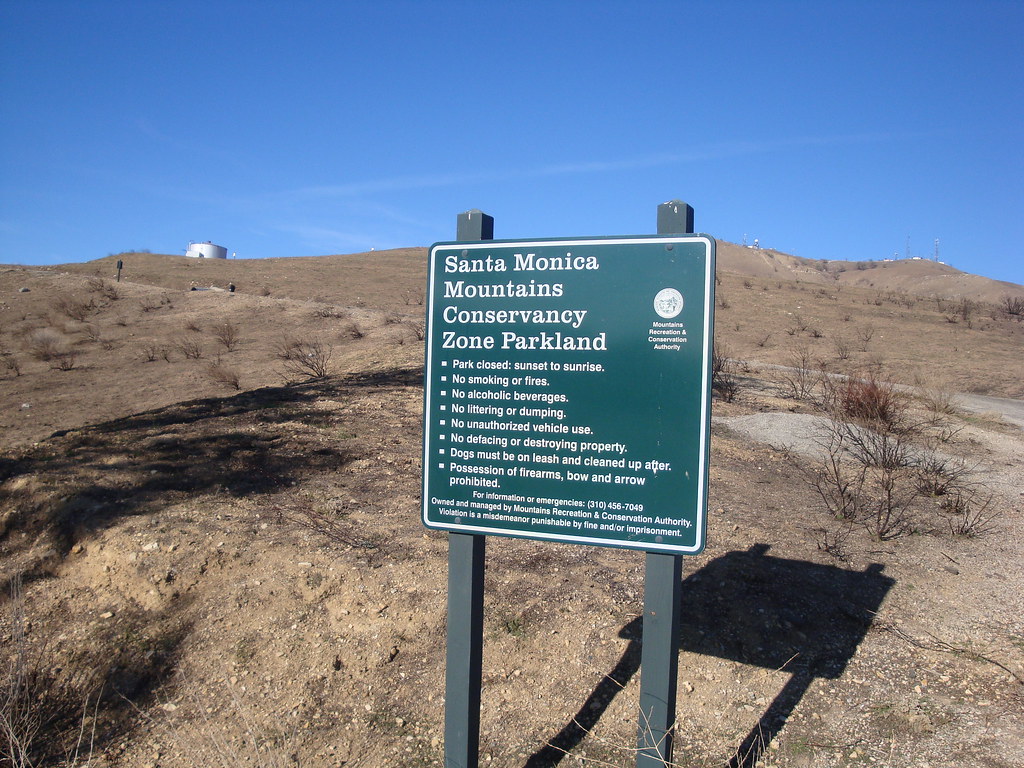
The Hiking
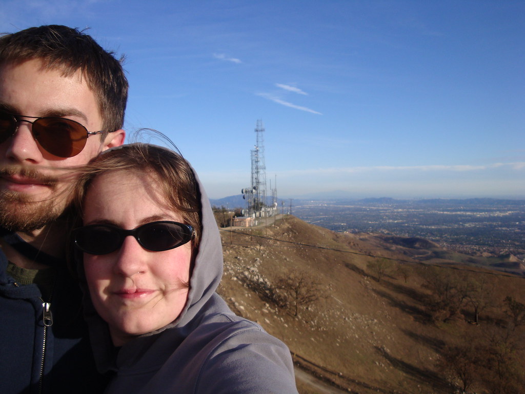
L .A. is a day-hiker’s dream come true. The Valley is surrounded by mountains on three sides, all with ample trails, all within the distance of a short car trip. We went on two morning hikes out of our three mornings in the city. The first was up Mt. Hollywood, which rises up due north of a main street in Hollywood, Vermont Ave. Mt. Hollywood is adjacent to Mt. Lee, home of the iconic Hollywood sign, and the sign can be seen all the way up the trail.
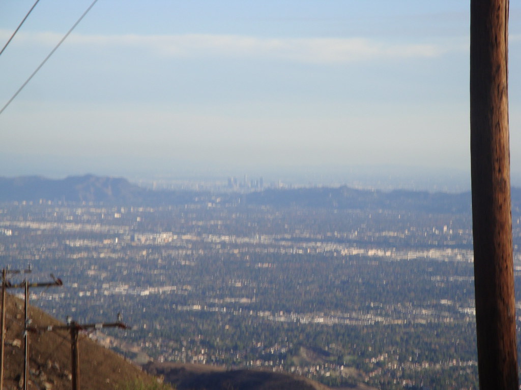
It was an easy hike (several people were running to the top for exercise) at 650 feet of gain over 1.5 miles. The view from the top was panoramic, though we didn’t make it until later in the morning, and the 
smog was already omnipresent and obscuring the detail of all vistas more than a few miles out. To the right is downtown L.A., seen through the haze.
The hills really are vast. We were excited by the idea of returning and exploring a portion of the network of trails over the course of a long day.
Mt. Hollywood is part of Griffith Park, with its famous observatory. Griffith is of note for being the largest park completely within a major city.
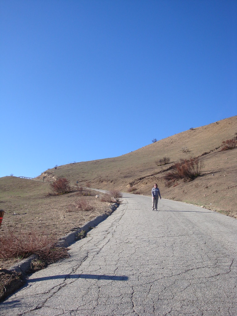
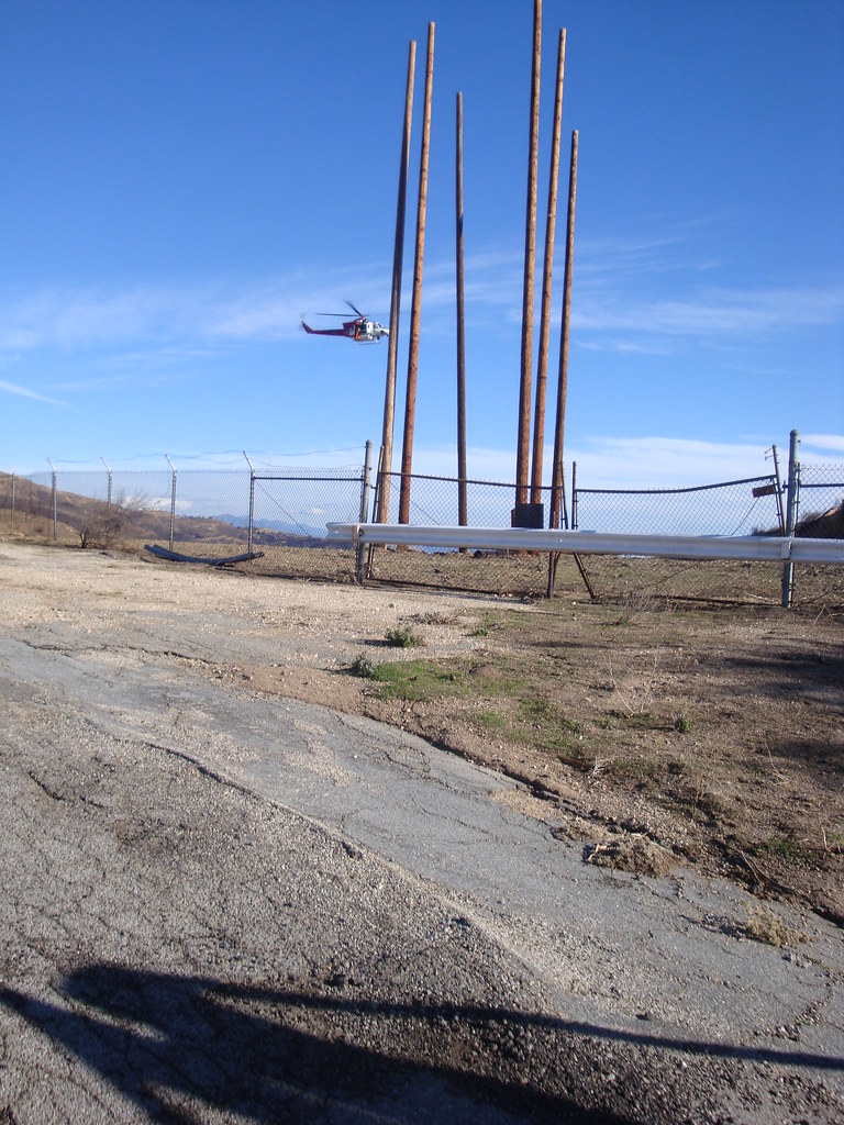
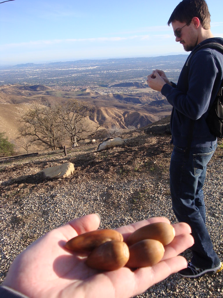
Our second hike offered even more extreme contrast to the urban sprawl. We drove a mere 30 minutes from our hotel in Northridge, down into that same mountain range but further west, to the town of Topanga.
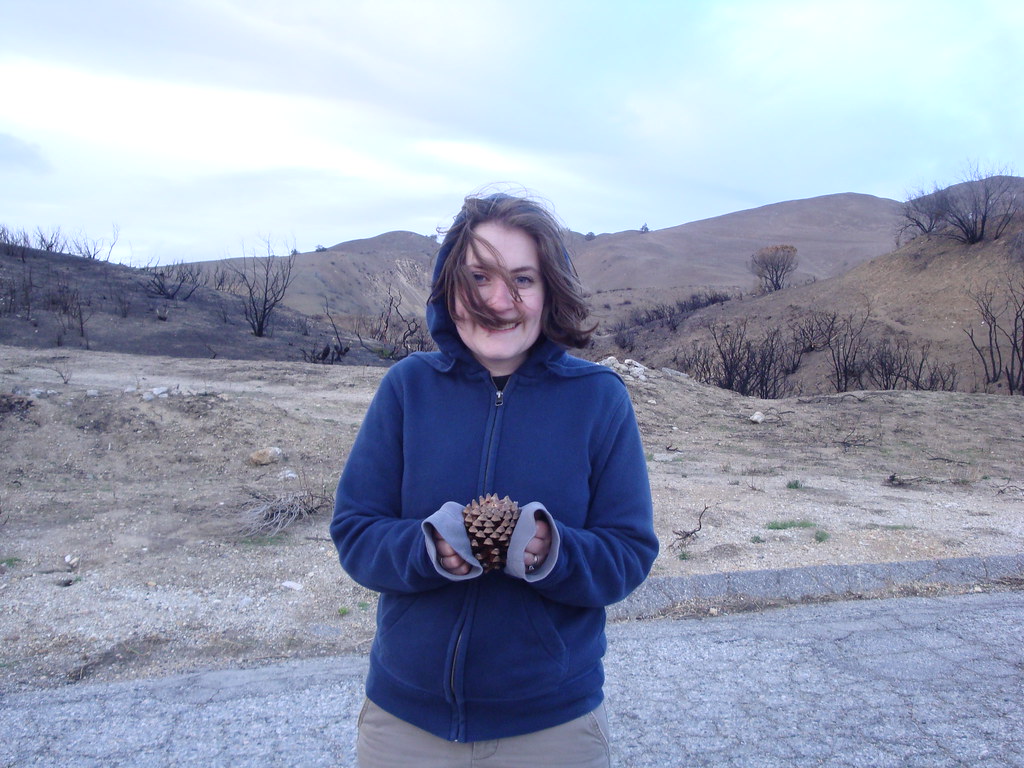
 Topanga was horse country, with ranches all along the Old Topanga Canyon Rd. We turned off onto Red Rock Canyon Road (not to be confused with the more famous national conservancy area of the same name that is outside of Las Vegas). We set off on a short trail, perhaps a mile long, up to the top of a hill, completely surrounded by mountains. It was a fairly close facsimile to hiking in some of the great national parks of the southwest, and only minutes away!


The Beaches
We had the chance to drive on the Pacific Coast Highway through Santa Monica and Malibu, as well as a short trip down the 405 to Long Beach. It should be common knowledge for most people that the beaches are numerous and beautiful in southern California.

We drove through Malibu on Sunday afternoon, and the traffic was heavy. It seems to be a popular day trip area for people from all around. We saw some of the iconic dramatic bluffs rising steeply from the ocean, but unfortunately the build-up along the beach meant that we were afforded precious few views of the oceanfront from the highway.

Ocean Blvd. in Long Beach
I had the idea that Long Beach wasn’t going to be as nice of a place, and certainly the neighborhood from the highway to the oceanfront area that we drove through wasn’t pleasant, but the beach area itself was like paradise! We’re already looking forward to taking a weekend day trip down to explore and relax.

Final Impressions
We grew to love the area very quickly. After our initial tepid reaction to the Valley, we were able to get a little deeper into its culture and atmosphere really to feel the pulse and mechanics of the city, and that’s when we started to understand and appreciate it. We’re adventurous by nature and L.A. offers a limitless reserve of completely diverse experiences waiting to be exploited.
Life in southern California is very different from eastern Massachusetts. Obviously the flora and fauna are mostly unfamiliar, the terrain is a world apart (if you can’t imagine living without the cozy, tree-filled clime of New England, the wide open spaces of the southwest are most definitely not for you), but the real differences are more subtle. The quirkiness in the infrastructure seen in the northeast is totally absent. This was an area whose civil engineering began with the grid-based plaza mayor construction of Spanish settlers. Everything is more open. As a result, the pace is noticeably dialed back. This spirit permeates casual social interactions, too. We were repeatedly (without fail, even) surprised by the friendliness and attentiveness of every clerk or salesperson we encountered. We’re used to, and have always been fine with, the sharper, more indifferent attitude of such interactions in Boston, but it was a welcome and pleasant change of pace.
Also, very importantly, the atmosphere at Harman in Northridge is optimistic and enthusiastic. Kimberly and I are very excited and deeply honored by this opportunity to relocate to Los Angeles.


