
Our first hike since we moved to SoCal was Oat Mountain. Oat is the highest peak in the Santa Susanas, the mountain range that forms the northern boundary of the San Fernando Valley, where we live, and separates it from Santa Clarita.

click for larger map
The mountain can be seen from all over the valley. In fact, if you go up to the 3rd floor of our apartment building and look northwest, it's the prominent feature of the view.
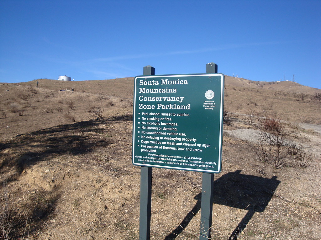
Oat Mountain is 3,747 ft. high, rising about 3,000 ft. above the valley floor. The trailhead is located in the Michael D. Antonovich Regional Park, a little less than halfway up the mountain on Brown's Canyon road, an extension of De Soto Ave. Oddly, the road is full of "No Trespassing" and "Local Traffic Only" signs, even though it is the only route to this public space. We got freaked out enough to almost turn back before finally reaching the park and seeing other visitors.
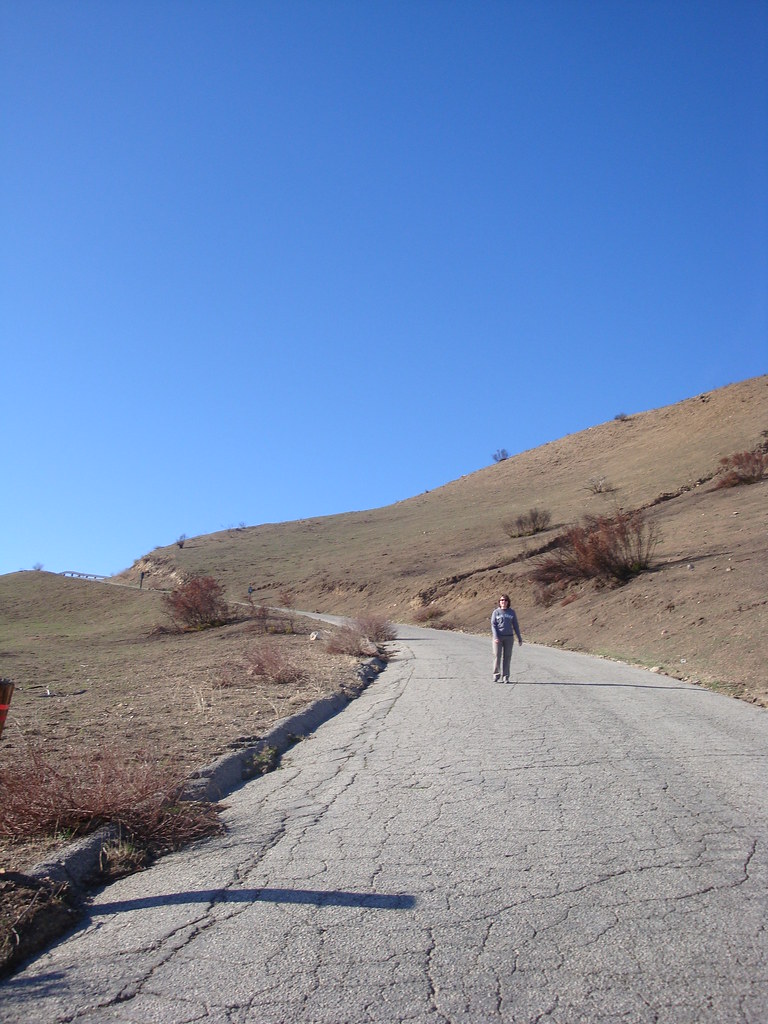
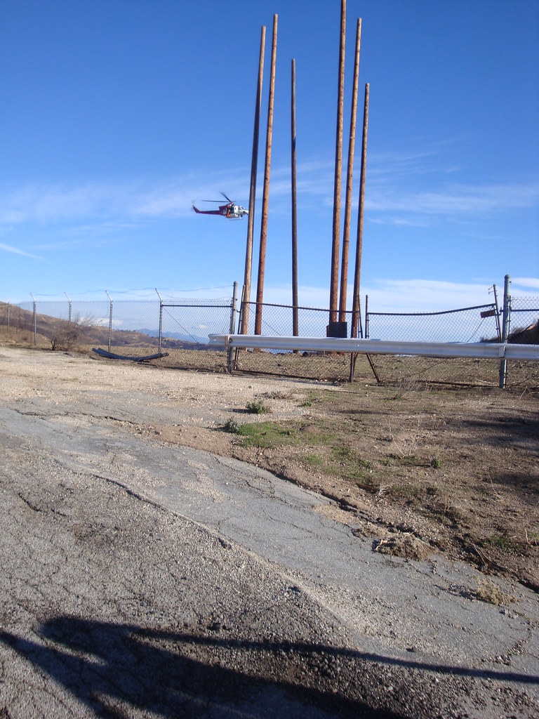
The entire trip is fully exposed, as the mountain is too low and dry to be forested. The views of the valley expand quickly as elevation is gained. The hike passes by an LAPD training facility, complete with multiple helipads, one that was in use for a practice rescue mission while we walked by.
It's a steady 2.3 mile climb with 1800 ft. of elevation gain. There were several oil derricks along the path, some close enough to touch, which was an odd little distraction.

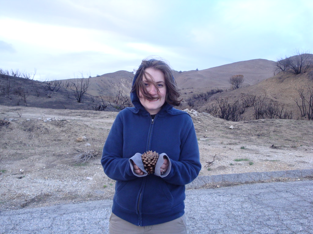
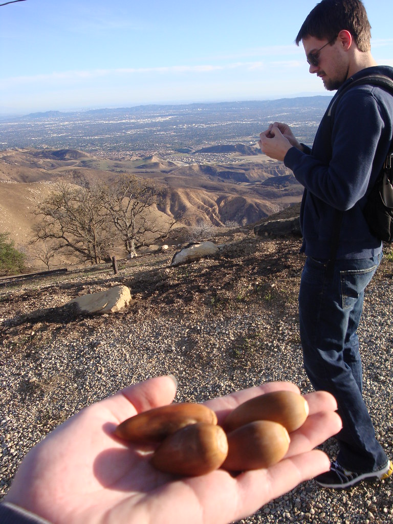
As the sun set, the temperature dropped. Eventually, I gave Kimberly my hoodie.
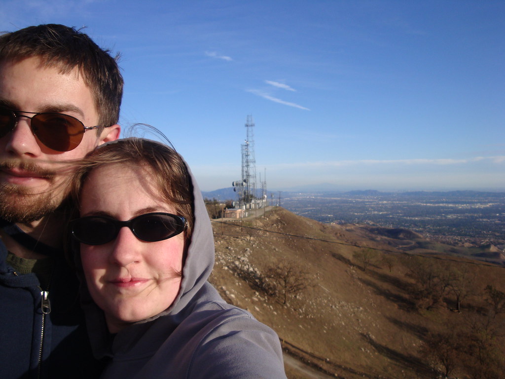
The views from the top were awesome. It was, however, more of a peak bagging experience than a nature walk. We've since visited a ton of other spots with a lot more natural beauty, but it was definitely worth the trip.

The San Fernando Valley from the top.
Santa Clarita, north of the Santa Susanas
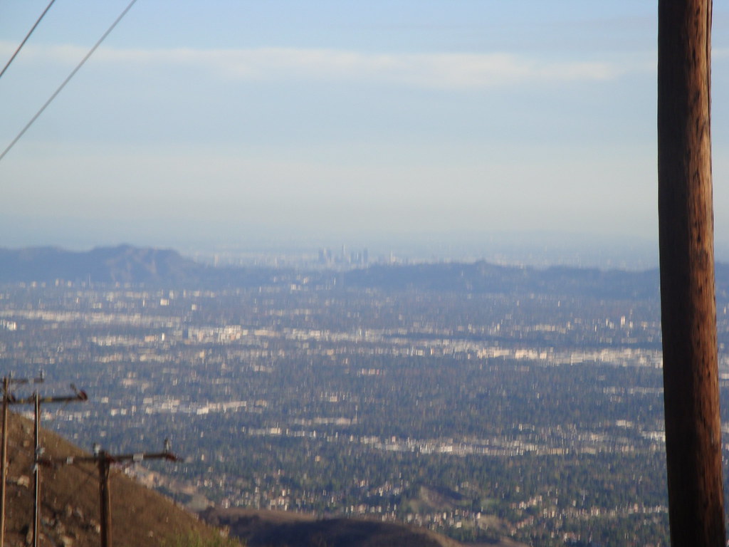
Downtown LA, to the southeast. The US Bank Tower is clearly visible in the middle of the skyscrapers.


