
The area, Echo Park/Silver Lake, also has some of the best bars and vegan food in LA so it can be tough to choose a dinner spot, but we're almost always drawn to Good Microbrew when we're in the area midweek because every Wednesday night they have Mystery Beer Night, where you get one of about 12 great microbrews in a plain plastic cup for $3 with a code on the bottom, revealing which beer on the list you were served. Woo hoo!
Wednesday, March 24, 2010
Concert Tonight
During our time so far in LA we've been getting more and more into the local scene, finding the best spots to hang out and seeing shows whenever possible. Tonight is no exception; we're going to the Echo to see two great bands: Cymbals Eat Guitars and Freelance Whales (check out some truly great videos of Freelance Whales playing live for NPR here).

Monday, March 22, 2010
More Biking!
I followed up the 43 mile ride with another 5 mile ride with Kimberly to go to dinner and back. Yesterday we rode 31.5 miles around the Westside and South Bay, bringing the grand total for the weekend to around 80 miles. I feel surprisingly good, considering. It can be hard to concentrate on Monday mornings after these crazy weekend adventures.

Our Sunday bike ride started after church. We planned to drive to Santa Monica and start biking there, but there was so much traffic from the LA Marathon, that we finally gave up and parked near Sepulveda, about 5 miles from the Santa Monica pier. It was actually nice to get to bike through parts of LA and Santa Monica that we wouldn't have otherwise, and it was a beautiful day as usual, so no complaints.
We stopped at West 4th / Jane for lunch and then made our way through the crazy crowds down to the bike path along the beach. We biked through Santa Monica and Venice, around Marina del Rey, and down to Manhattan Beach. We had dinner at the Manhattan Beach Brewing Co., which, despite the name, isn't a brewery. They did have a huge collection of beers on tap for good prices and some amazing nachos.
After dinner we tried to rest on the beach, but it was already too chilly to hang out for long. We made our way back up the bike path, back to Sepulveda, and back to our car, tired from a long day of biking around. With only about a mile to go, Kimberly wiped out on a bush and scratched herself up a bit, but she laughed it off and we finished up the trip.
We celebrated (and Kimberly recuperated) with some unbelievably delicious vegan mint carob chip ice cream from Rice Dream.
Here's our path (click for detail):

Saturday, March 20, 2010
Long Saturday Bike Ride
I decided to go on a long bike ride this morning, and it turned out to be the longest and most challenging ride I've done yet.

Here's the route (click for higher res):
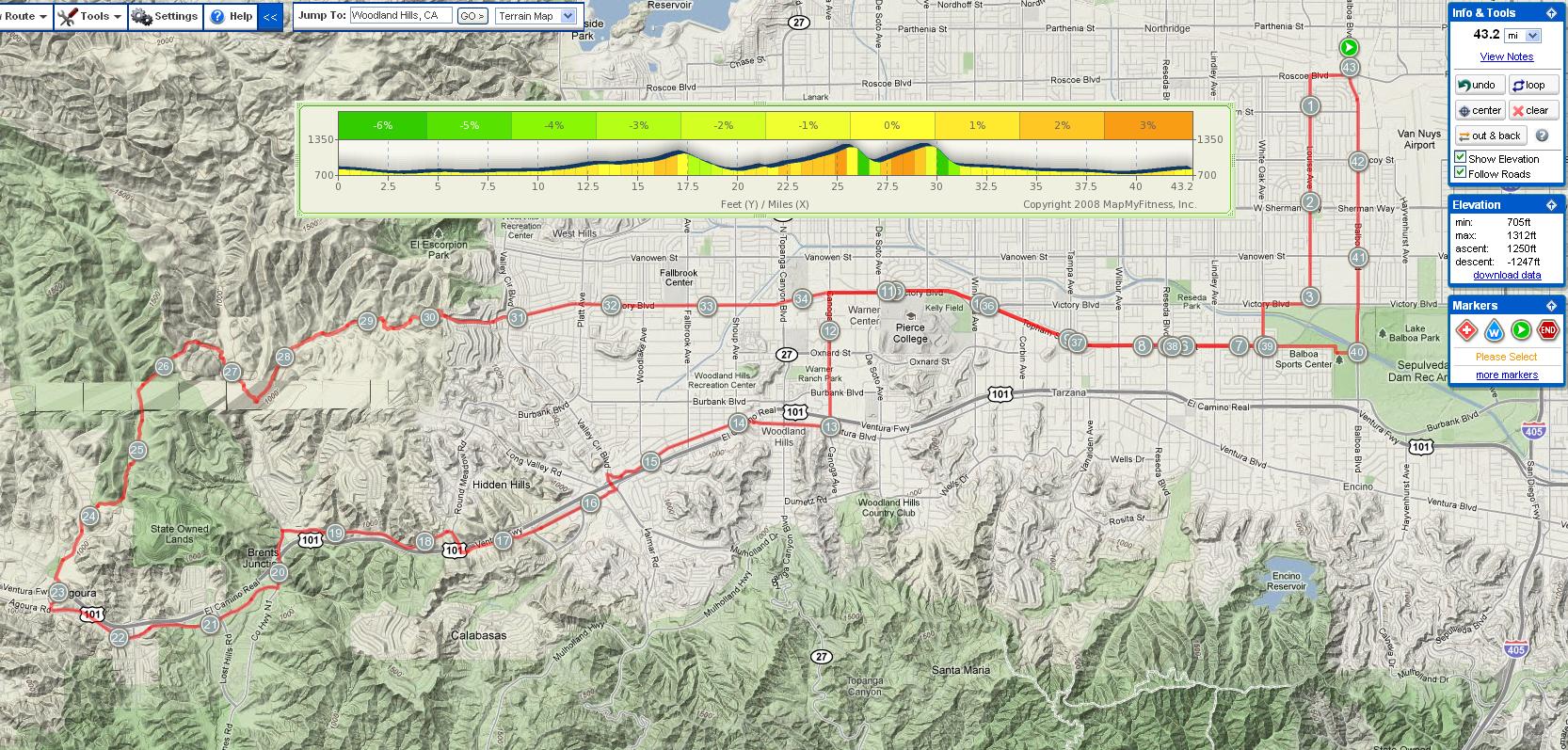
It was challenging but not as hard as I thought it might be. The advantage of rolling hills, as opposed to long climbs, which I've done a few times now, is that though the elevation gain might be equivalent in the end, there's always a goal in sight and a rest for your legs. I was a big fan and I'll be back to these hills ASAP.
There's a long bike route through the southern part of the valley that I took advantage of, after which I followed Ventura Blvd. to the end and kept going on roads that paralleled the 101, up and down hills till I got to Chesebro Rd. I followed that up into Cheeseboro Canyon park.
There's a route out of the park that eventually meets up with Las Virgenes Canyon Rd., which gets back to the valley at the very end of Victory Blvd. From there I pretty much retraced my steps back through the valley all the way home.
It was such a nice day. The beauty of southern California never ceases to amaze me or fill me with a sense of adventure and longing for more. I was also surprised, as I've been many times here, at the volume of people found even in fairly remote areas. It's encouraging to see others enjoying this day and these hills as much as I did.
Monday, May 18, 2009
The High Desert
I decided, out of the blue on Thursday, that we needed to go camping Saturday night. I knew we were really close to the true desert, but we've never had a reason to venture out there. It was the perfect opportunity to check out the Mohave, which starts just over the mountains from us and runs all the way through Las Vegas and into a bit of Utah and Arizona:


Kimberly had a big important test Saturday morning, which is why our trip was one night only. She got back mid-afternoon and we headed out.
It's about an hour and a half from our door to Saddleback Butte State Park. The drive was absolutely stunning. From the valley, we climbed about 2,400 ft. through a pass between the Sierra Pelona and San Gabriel mountains. We saw all manner of hills, mountains, impressive mansions precariously perched, canyons, desert, and the crazy and unique rock formations that define the southwestern US. On the other side of the pass we emerged to find a vast expanse of flat arid land: the frontier of the Mohave.

After a nice trip through the desert, we arrived at the park. The primitive campground had 50 first come, first served sites. We didn't know what to expect so there was a bit of risk in driving all the way out there. To our surprise, when we showed up there was the camp manager and two other groups. No crowds to be found. We set up our site and headed for town to find dinner.

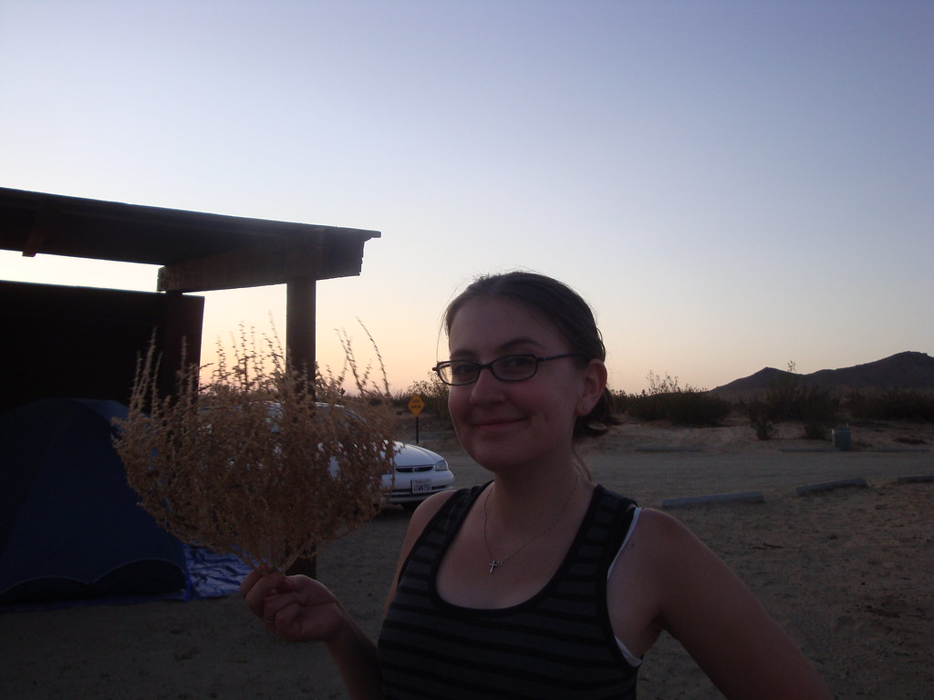
Kimberly and her tumbleweed. Our site, under a lean-to, is in the background.
The nearby town was an odd place called Lake Los Angeles (we were still in L.A. county, though this was about as remote in spirit as one could get from a bustling metropolis). Apparently, the town was once known as Los Angeles Buttes, but was rebranded in the housing speculation explosion of the 1960s. The natural lake, almost dried up and forgotten, was artificially filled, and brochures were printed with happy people playing water sports. After the initial sale, the artifical lake was left to evaporate.

It was a great evening, with a nice little campfire, surprisingly great pizza, games, and warm, fresh desert air. After the sun set we actually watched as the stars appeared in the sky, one by one, until they were too many to count.

The nearby town was an odd place called Lake Los Angeles (we were still in L.A. county, though this was about as remote in spirit as one could get from a bustling metropolis). Apparently, the town was once known as Los Angeles Buttes, but was rebranded in the housing speculation explosion of the 1960s. The natural lake, almost dried up and forgotten, was artificially filled, and brochures were printed with happy people playing water sports. After the initial sale, the artifical lake was left to evaporate.
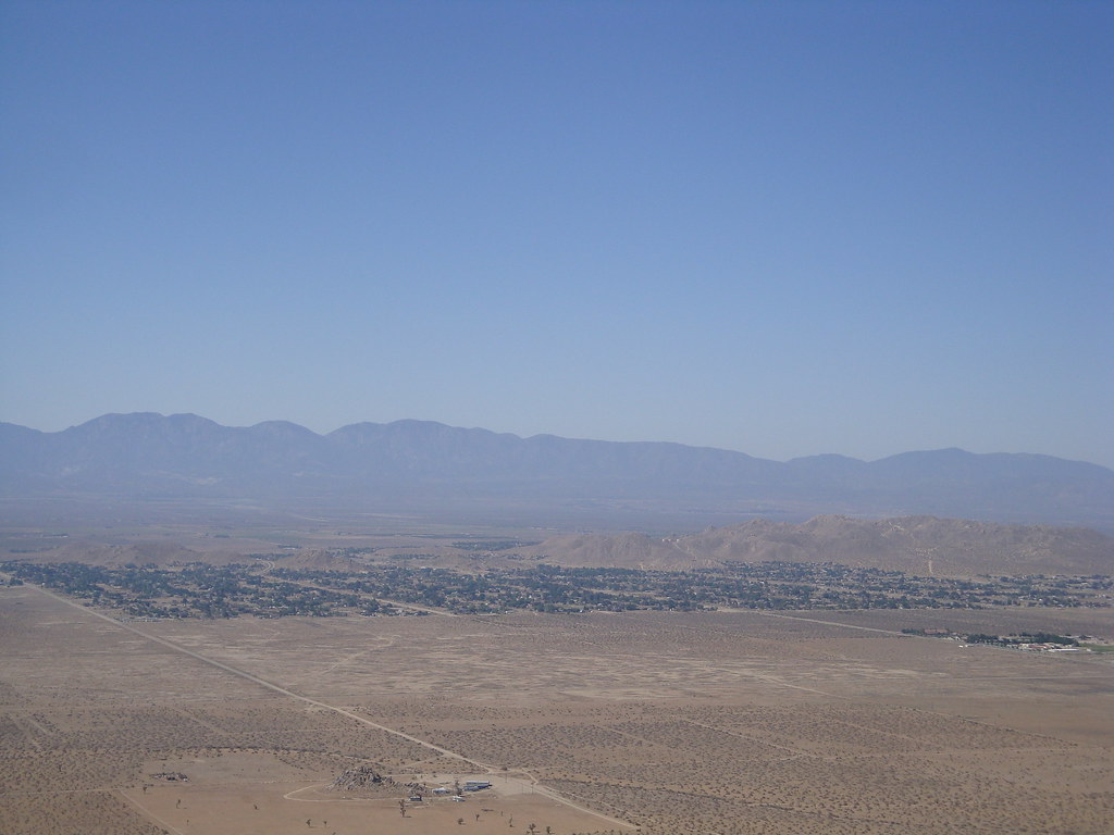
Lake Los Angeles, from the top of Saddleback Butte, with the San Gabriel Mountains to the rear.
The town itself was small, quiet, and showed signs of economic depression. The dry lake, it seems, is a fitting metaphor for the state of things in general for Lake Los Angeles. We found a pizza place and ordered one to go.It was a great evening, with a nice little campfire, surprisingly great pizza, games, and warm, fresh desert air. After the sun set we actually watched as the stars appeared in the sky, one by one, until they were too many to count.
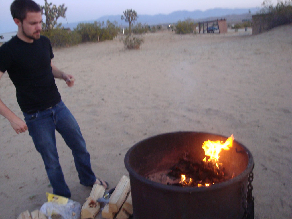
I'm pretty good at building a fire in the damp woods of New Hampshire, but ANYONE could start a fire here. I probably could have just taken a match to our biggest log.

A bit of the dazzling desert sunset, captured by Kimberly.
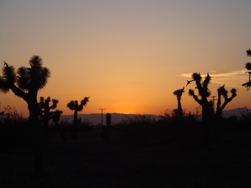
The next morning we had a rude awakening as the sun came up, shining directly into our tent window, heating it to an uncomfortable degree by 7:30AM. Our only other goal for the trip was to summit Saddleback Butte, the park's namesake.

The butte stands out from its surroundings, a hard rock holdout from the erosion and flooding that long ago formed the flat desert floor. The trail headed straight from the campground, across an open mile of desert, slowly climbing to the base of the hill, and then abruptly up the side.
By the time we reached the saddle between the two peaks, Kimberly was spent from a combination of heat and not having breakfast. I scrambled the last half mile or so to one of the summit to snap some pictures. It was amazing how fast things heated up as the sun climbed ever higher.

From one peak of Saddleback Butte, looking at the other
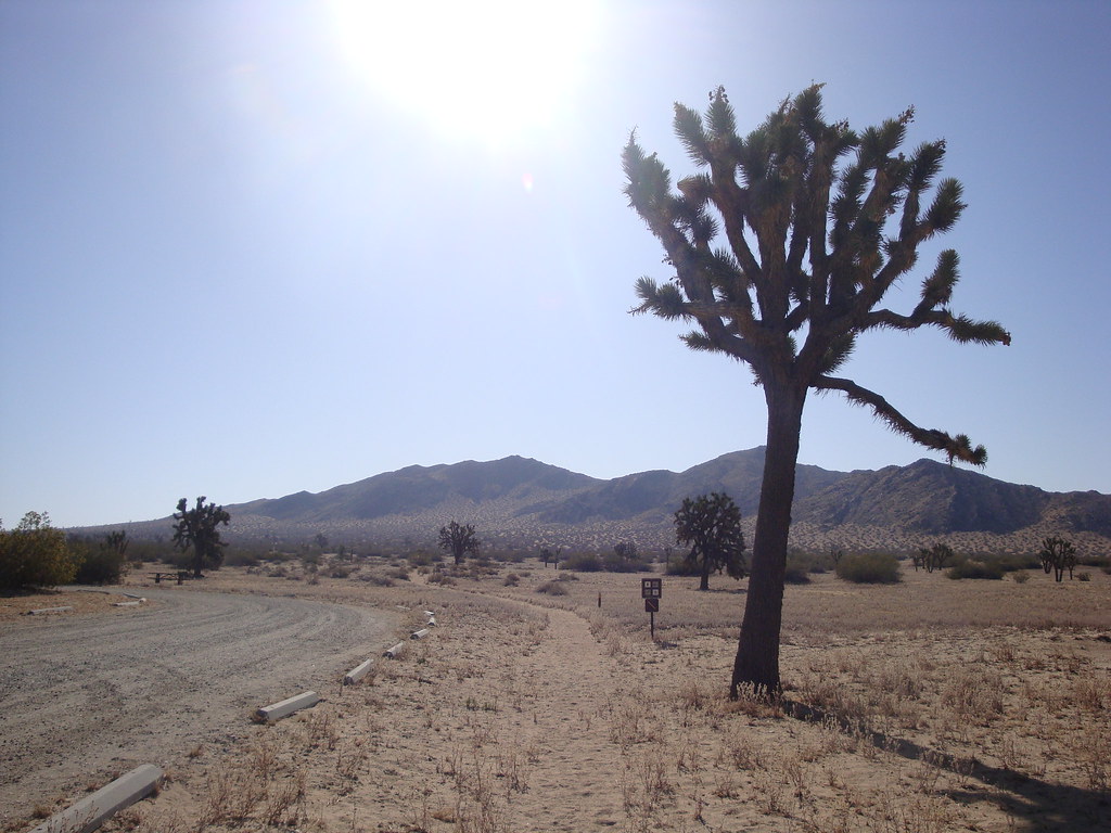
Saddleback Butte trailhead
The butte stands out from its surroundings, a hard rock holdout from the erosion and flooding that long ago formed the flat desert floor. The trail headed straight from the campground, across an open mile of desert, slowly climbing to the base of the hill, and then abruptly up the side.
By the time we reached the saddle between the two peaks, Kimberly was spent from a combination of heat and not having breakfast. I scrambled the last half mile or so to one of the summit to snap some pictures. It was amazing how fast things heated up as the sun climbed ever higher.
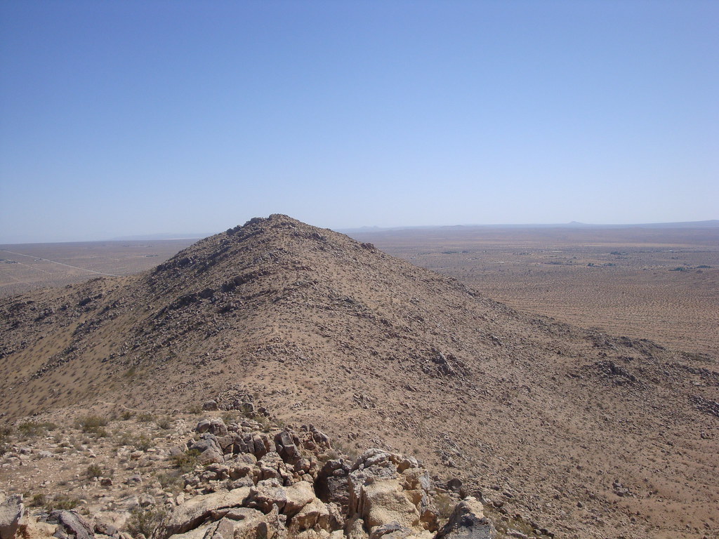
From one peak of Saddleback Butte, looking at the other
One more interesting feature of our trip: Joshua Trees. Relatives of agave plants (the plants whose nectar is the main ingredient of tequila), Joshua trees are found only in the Mohave, and actually help to define the limits of the desert. They are a very whimsical spectacle. I concluded that unlike most plants, for instance stately and uniform trees, these guys just grow and grow without a plan.

One of the largest of the countless Joshua trees we saw in the Mohave.

One of the largest of the countless Joshua trees we saw in the Mohave.
It was so great to get back out camping again. Now that we have a taste I'm sure we'll get around to it more often from now on. California offers a year-round climate for sleeping outdoors, and limitless locales to find adventures as unique as this one.
Friday, April 3, 2009
Busy
I haven't updated since December. First things were very busy with the move, then things were super busy at work. I have a lot of interesting things to share about our experiences with southern California life so far. I'll try to start posting some of them on here.
Sunday, December 28, 2008
Oat Mountain
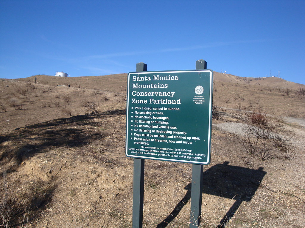
Our first hike since we moved to SoCal was Oat Mountain. Oat is the highest peak in the Santa Susanas, the mountain range that forms the northern boundary of the San Fernando Valley, where we live, and separates it from Santa Clarita.

click for larger map
The mountain can be seen from all over the valley. In fact, if you go up to the 3rd floor of our apartment building and look northwest, it's the prominent feature of the view.
Oat Mountain is 3,747 ft. high, rising about 3,000 ft. above the valley floor. The trailhead is located in the Michael D. Antonovich Regional Park, a little less than halfway up the mountain on Brown's Canyon road, an extension of De Soto Ave. Oddly, the road is full of "No Trespassing" and "Local Traffic Only" signs, even though it is the only route to this public space. We got freaked out enough to almost turn back before finally reaching the park and seeing other visitors.
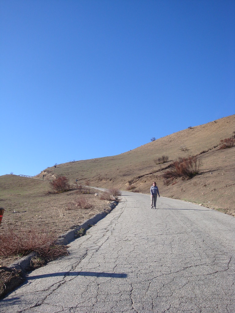
The entire trip is fully exposed, as the mountain is too low and dry to be forested. The views of the valley expand quickly as elevation is gained. The hike passes by an LAPD training facility, complete with multiple helipads, one that was in use for a practice rescue mission while we walked by.
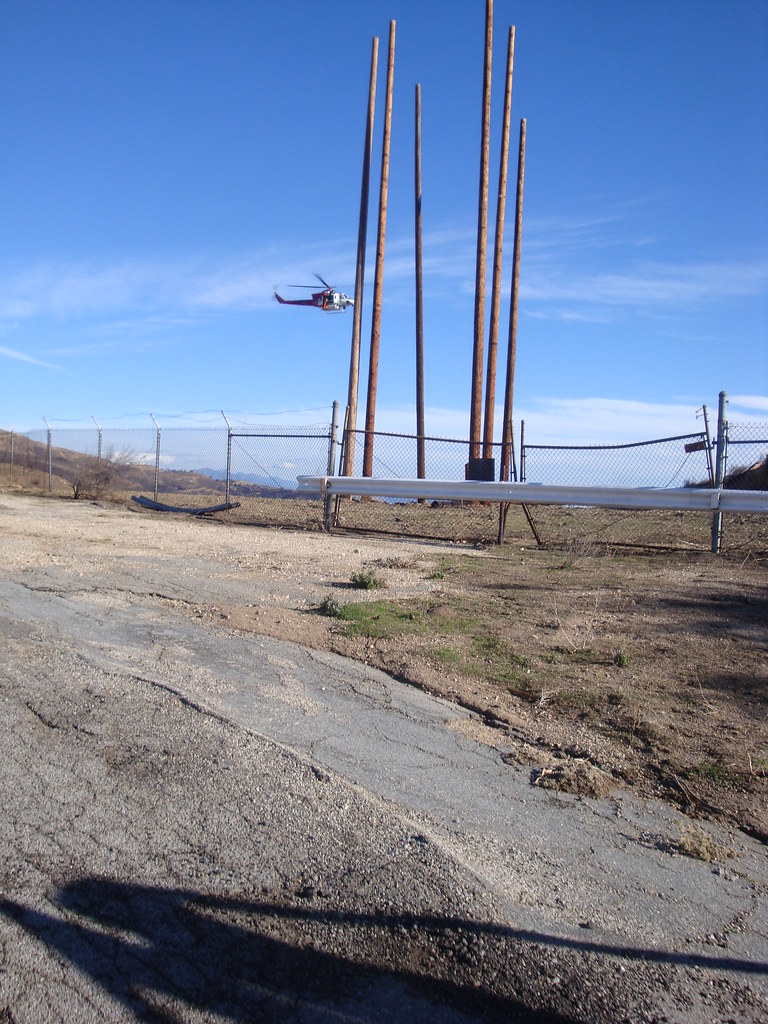
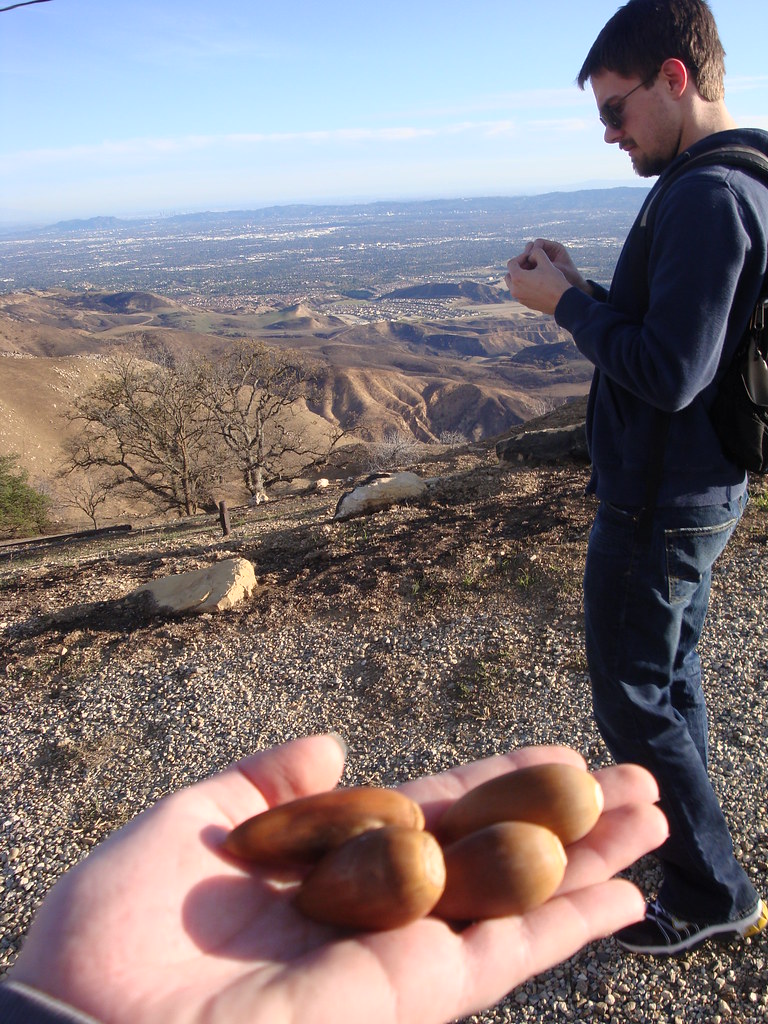
It's a steady 2.3 mile climb with 1800 ft. of elevation gain. There were several oil derricks along the path, some close enough to touch, which was an odd little distraction.


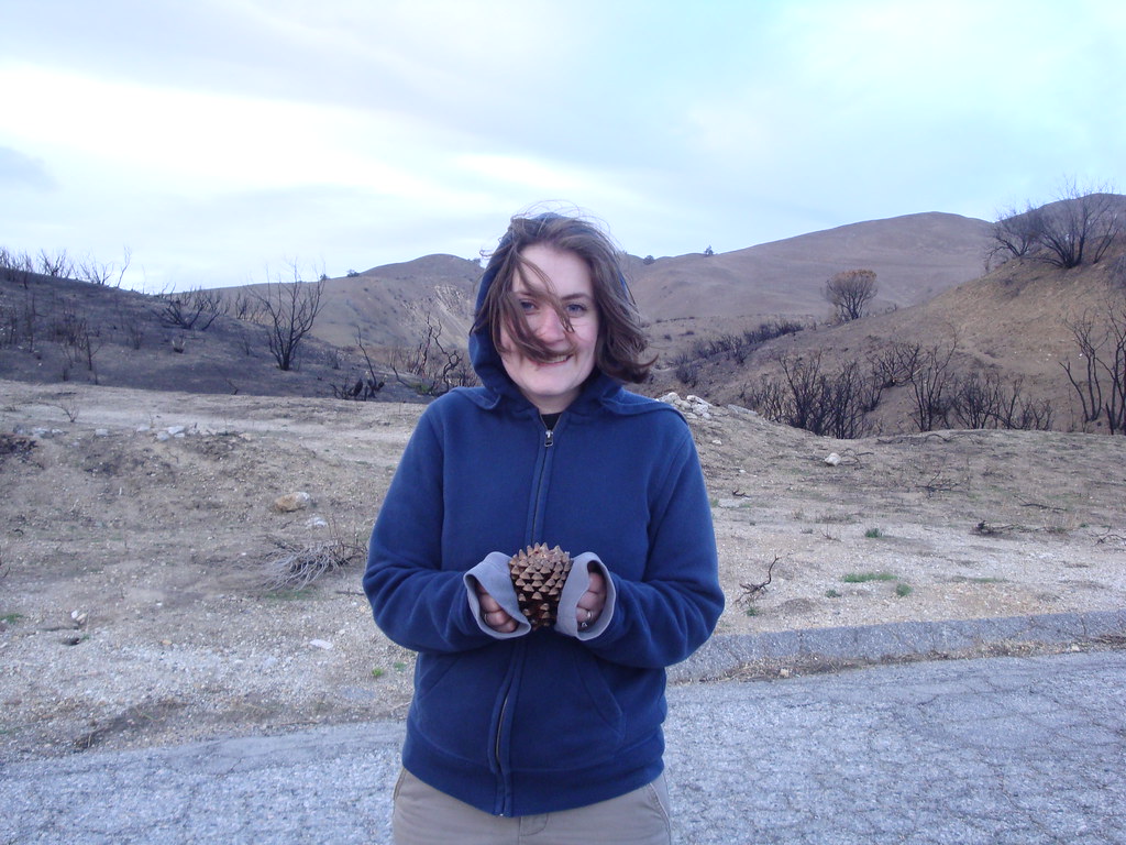
As the sun set, the temperature dropped. Eventually, I gave Kimberly my hoodie.
The views from the top were awesome. It was, however, more of a peak bagging experience than a nature walk. We've since visited a ton of other spots with a lot more natural beauty, but it was definitely worth the trip.


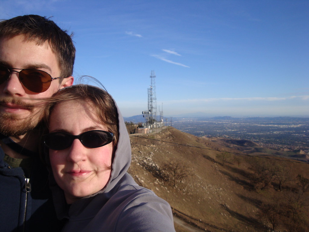
The San Fernando Valley from the top.

Santa Clarita, north of the Santa Susanas

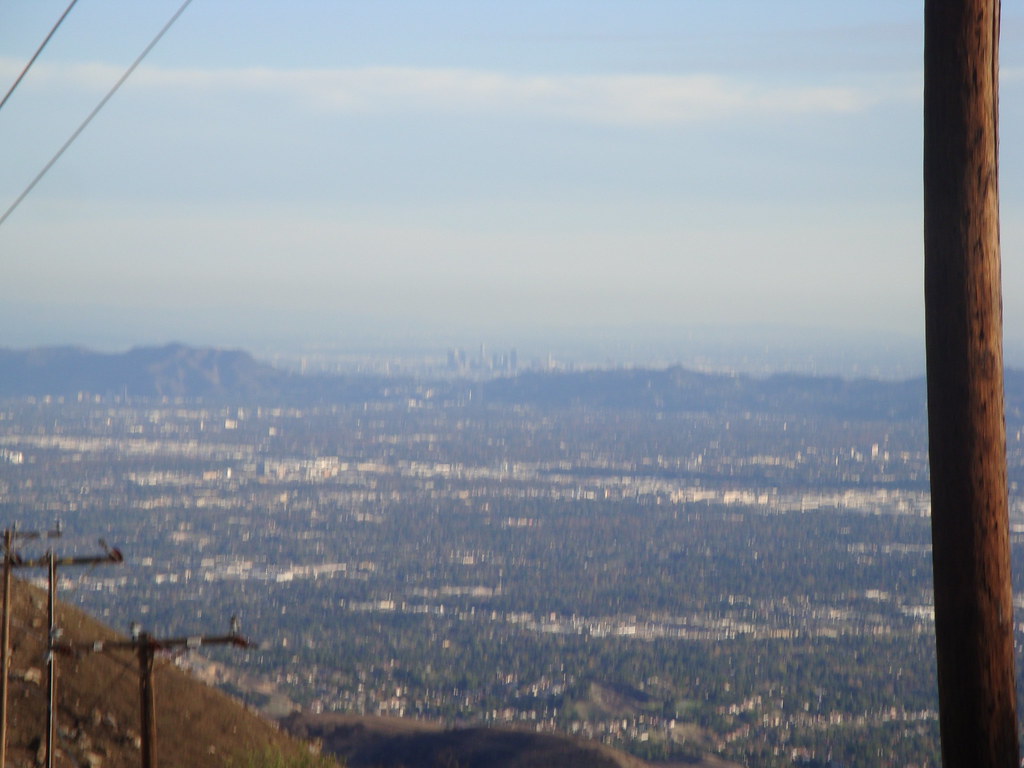
Downtown LA, to the southeast. The US Bank Tower is clearly visible in the middle of the skyscrapers.
Friday, December 5, 2008

Subscribe to:
Posts (Atom)


